| I am a casual Butterfly recorder focused essentially on the Goyt Valley and thereabouts. This falls under Derbyshire which forms part of the East Midlands branch of the Butterfly Conservation organisation. For anyone interested in recording, details relating to recording of Butterflies (and Moths) may be found at Butterfly Conservation, which is directly accessible from the Contact > Links page.
I aim to submit my reports weekly on a spreadsheet. My own weekly submission will be made available here as an example. Please note the first eight columns of the spreadsheet have a white background and these columns precisely mirror the layout preferred by the Derbyshire County recorder (Ken Orpe). This enables the recorder to then quickly copy and paste the data into a further spreadsheet in the hierarchy. All the colour coded columns are for data I am interested in harvesting. Those columns may change on a whim over time but the first eight columns never will.
As I do not have any experience recording Butterflies on transects, I have been developing a series of A4 information sheets on different related topics to use as a quick visual reference in the field, to aid with identification. I do not want to be carrying text books. I am also now interested in identifying food plants. These documents will always be available as PDF files to carry on my phone. I will make this information available as well.
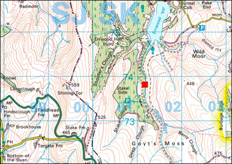
As a reminder. All the OS sourced maps on this website have sufficient data to enable anyone to extrapolate BNG grid references for recording wildlife sightings. I use a simple GPS device in the field which also delivers elevation data as well as BNG data. You do not need the full GPS data I use. For example, the BNG reference SK 01103 73896 may be cited as SK0173 for the purposes of recording Butterfly sightings. |